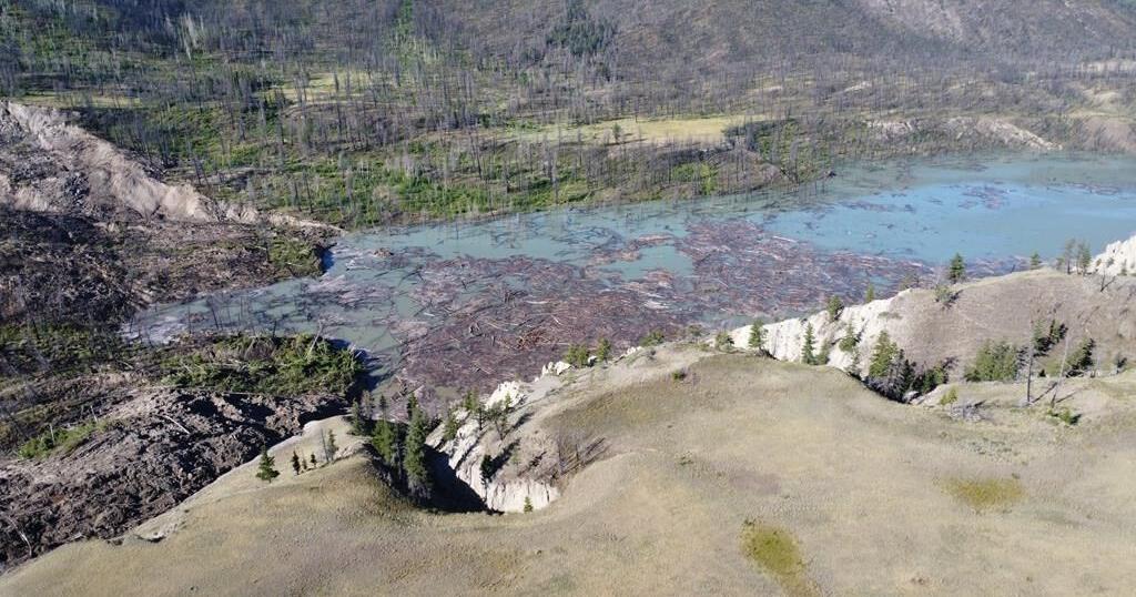
The Tsilhqot’in National Government says water has begun flowing overtop the landslide that dammed British Columbia’s Chilcotin River.
The First Nation says on social media that people should avoid river banks that were submerged by the lake that formed behind the slide.
Images posted online today by the province and aerial footage over the slide site shared by Nathan Cullen, B.C.’s water and resource minister, show water getting through the massive slide.
Tsilqot’in Chief Joe Alphonse says the water has backed up enough to start carving a path through the slide debris, and impacts on upcoming salmon runs remain his nation’s biggest concern.
B.C. officials issued an evacuation order for an area just north of where the Chilcotin River meets the Fraser River because of the danger of flooding caused by the landslide.
In a news release late Sunday, officials with the Cariboo Regional District told residents to leave “immediately” and that people who choose to stay do so at their own risk. The evacuation order covers 3.5 square kilometres.
The massive landslide last week at Farwell Canyon located about 22 kilometres south of Williams Lake dammed the Chilcotin River and created a lake about 11 kilometres long behind the slide.
The Tsilhqot’in First Nation said that as of Sunday morning the slide was holding back 61 million cubic meters of water, equalling “24,400 Olympic swimming pools.”
This report by The Canadian Press was first published Aug. 5, 2024.
