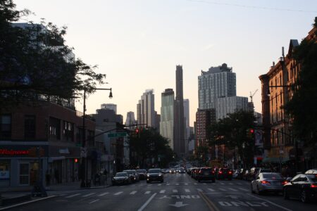




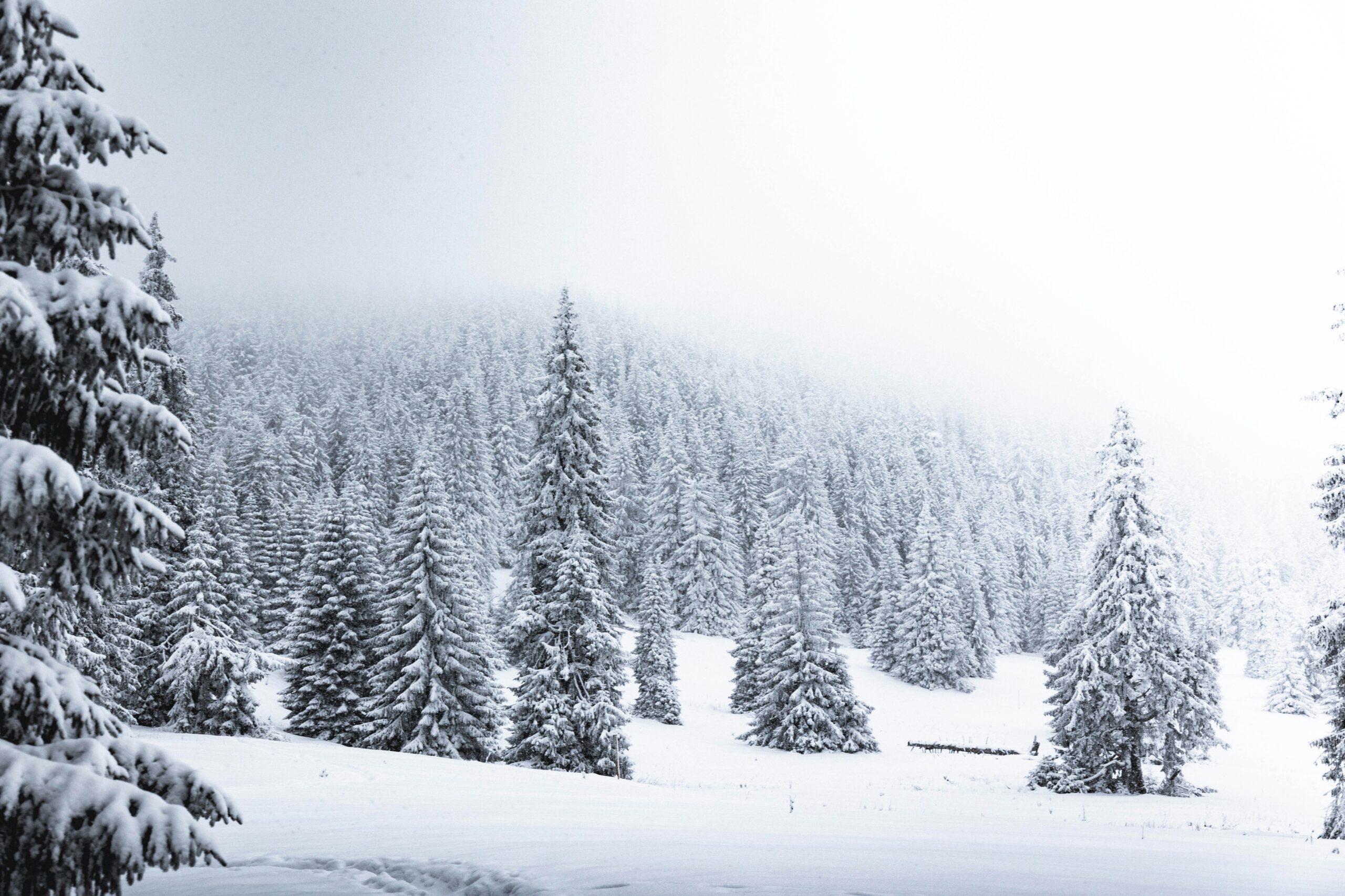
Southern Ontario is in for its first taste of winter this weekend, with rain turning to wet flurries in places and temperatures dipping to around freezing in Toronto on Thursday night, according to forecasts from Environment and Climate Change Canada and The Weather Network.
Searches for the Ontario snow forecast climbed on Google Trends in Canada on Thursday as the change arrived. The cold shift begins Thursday, Nov. 12, and lasts into the weekend, though forecasters are not calling it a big storm.
Environment and Climate Change Canada’s forecast for Toronto, as cited by Over Here Toronto on Nov. 10, calls for an overnight low of 0 C on Thursday that feels like -3 C with the wind. Friday is expected to bring a low near 0 C and a high of about 4 C, which would feel like 1 C. The federal forecast puts the chance of rain showers or flurries at about 30 per cent from Thursday to Saturday.
The Weather Network said a low-pressure system moving from Illinois across Lake Erie will bring rain to southern Ontario on Thursday and Friday, with some of it possibly changing to flurries on Friday. The network listed Barrie, Newmarket, Orangeville, Owen Sound, Gravenhurst and Bancroft among the places where rain could turn to flurries, and said parts of the Greater Toronto Area could see the same. Over Here Toronto reported that exact locations and amounts remain unclear and that most flakes in Toronto will likely melt on contact.
A separate report from eAwaz, published Thursday, said Toronto is likely to see less than three centimetres in most areas, with brief flakes possibly mixed with rain. It said localized higher totals are possible only where lake-effect bands persist, and that the southern Georgian Bay snowbelt, including the Collingwood area, could get five to 10 centimetres. The same report said widespread heavy snowfall is not currently expected. It attributed its figures to forecasters in general rather than to a named agency, so readers should check the latest Environment Canada warnings for their own area.
Toronto has not yet had its first freezing day of the season. Over Here Toronto, citing a Weather Network comment reported by blogTO, said it will be a close call whether the city breaks its record for the latest first freezing day, which fell on Nov. 13, 2022. Thursday night and Friday give the city its best chance of getting there.
Temperatures are expected to ease by Sunday. Over Here Toronto reported a high of 9 C for Nov. 15, although its article is not consistent on whether Sunday will bring sunshine or a 30 per cent chance of showers.
For drivers, the first wet flurries of the year often make roads slick even when nothing sticks. Anyone who has not yet switched over should read our guide on how to store summer tires over winter in Canada once the change is made. Earlier this month we also looked at the weekend weather across the country, and at what the Old Farmer’s Almanac forecasts for a split Canadian winter.
Forecasts for this kind of marginal setup can shift quickly, since a few degrees decides whether precipitation falls as rain or snow. Environment Canada updates its warnings and watches throughout the day, and The Weather Network is also expected to refine its totals as the system moves in.
Follow Canada News Media
Get the day's top Canadian stories and our two daily 60-second news videos wherever you scroll.
X Threads Facebook Instagram LinkedIn TikTok YouTube Pinterest Reddit Substack Flipboard Newsletter RSS