




Environment and Climate Change Canada has issued snowfall warnings for far northern Saskatchewan, where 20 to 40 centimetres of snow is expected from Friday into Saturday, and wind warnings across much of the south and centre of the province, including Regina, Saskatoon and Moose Jaw, with gusts up to 90 km/h, according to the agency’s public alerts.
The snowfall warnings cover La Loche and the Clearwater River Provincial Park area, Cluff Lake, Cree Lake and Key Lake, Stony Rapids and Black Lake, Fond-du-Lac and Uranium City. The agency said rain would quickly change to heavy snow over northwestern Saskatchewan on Friday morning and spread east by afternoon, persisting Friday night and Saturday before tapering off Saturday overnight.
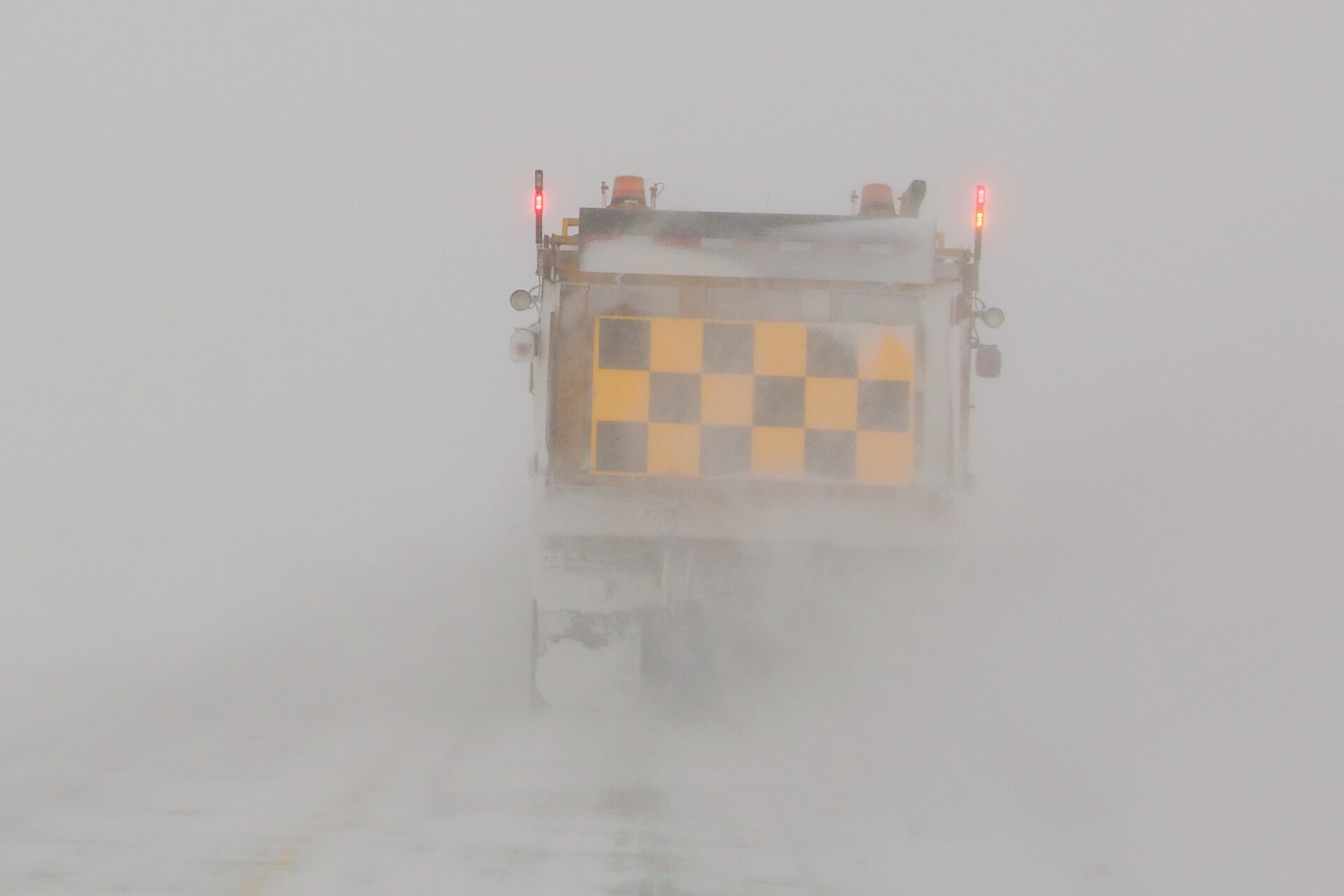
“Travel will likely be challenging. Road closures are possible. Local utility outages are possible,” the warning said.
A special weather statement covers a wider band of the north, including La Ronge, Buffalo Narrows, Île-à-la-Crosse, Pelican Narrows, Cumberland House, Creighton and Prince Albert National Park. There, rain is forecast to turn to snow overnight Friday, with five to 10 centimetres possible by Sunday morning and westerly gusts near 80 km/h Friday night into Saturday.
Farther south, strong northerly winds were forecast to develop near the Alberta boundary Friday afternoon and spread east in the evening, with gusts up to 90 km/h and more than 100 km/h possible in the Cypress Hills. The agency said the warning could be extended toward the Manitoba border overnight and warned that high-sided vehicles will be pushed around by the wind. Lloydminster is also under a wind warning. Updated 6:30 p.m. MT: Environment Canada’s warnings for the City of Regina and Saskatoon call for northerly gusts of 80 to 90 km/h from Friday evening through Saturday, diminishing Saturday afternoon, with local utility outages possible. Updated 8 p.m. MT: Regina’s forecast calls for rain changing to snow overnight, with west winds increasing to 60 km/h gusting to 90, and a low near zero. At 9 p.m. CST, Environment Canada’s Regina airport station reported west-northwest winds of 37 km/h gusting to 53 km/h. Winds are expected to ease Saturday afternoon, with a high of 5 C in Regina.
CTV News and Radio-Canada also reported the warnings. Searches for “neige,” French for snow, were also among the most popular in Canada on Google over the past day.
The same system brought wet snow and strong winds to Calgary on Friday. If you will be driving, see our guide to building a winter car emergency kit and the 2026-27 winter forecast by region.
Environment Canada asks people to report severe weather by email to [email protected] or on social media with #SKStorm.
Updated 6:30 a.m. MT Saturday: Environment Canada’s wind warnings remain in effect for the cities of Regina, Saskatoon and Moose Jaw. The agency said northerly gusts of 80 to 90 km/h will continue Saturday morning before diminishing in the afternoon, with conditions improving from west to east. Local utility outages are possible and driving conditions will likely be difficult. Snowfall warnings continue for far northern Saskatchewan, including La Loche, Cree Lake and Fond-du-Lac.
Updated 9:30 a.m. MT Saturday: Environment Canada has ended its wind warnings for the cities of Regina, Saskatoon and Moose Jaw, saying damaging winds are no longer expected there. Wind warnings remain for parts of southeastern Saskatchewan, where northerly gusts of 80 to 90 km/h are forecast to continue this morning and diminish this afternoon as conditions improve from west to east. The agency said local utility outages are possible and high-sided vehicles will be pushed around by the wind.
Updated 3:30 p.m. MT Saturday: Environment Canada has upgraded the winter storm warning for Wollaston Lake and Collins Bay in far northern Saskatchewan to orange. The agency said 40 to 60 cm of snow is expected by Sunday morning, with northerly gusts up to 70 km/h reducing visibility in snow and blowing snow. Heavy snow will continue through the day and into tonight before tapering off Sunday. Travel will likely be very hazardous, road closures are possible, and the agency warned of an increased risk of roof collapse under the weight of the snow. It advised avoiding non-essential travel.
If you find reporting like this useful, consider supporting Canada News Media, an independently owned Canadian newsroom.
Sources: Environment and Climate Change Canada alerts, Oct. 23, 2026; CTV News; Radio-Canada.
Follow Canada News Media
Get the day's top Canadian stories and our two daily 60-second news videos wherever you scroll.
X Threads Facebook Instagram LinkedIn TikTok YouTube Pinterest Reddit Substack Flipboard Newsletter RSS