




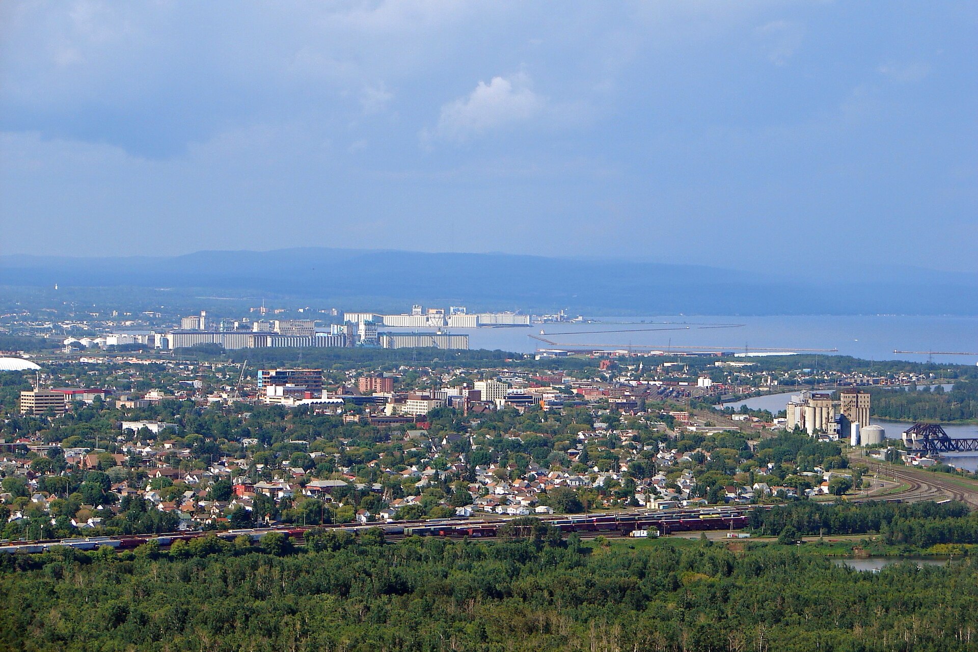
Environment Canada has issued special weather statements for Thunder Bay and much of northwestern Ontario, warning of significant rainfall through Thursday that could total more than 75 millimetres in some areas.
The weather agency said 25 to 50 mm of rain is expected today and tonight in the City of Thunder Bay, with rain at times heavy. Statements were also in effect Monday for Marathon and Schreiber, Nipigon and Rossport, Wawa, White River and Dubreuilville, Atikokan and Shebandowan, and the Lake Superior shoreline communities of Cloud Bay and Dorion.
Precipitation is expected to ease to scattered showers by Tuesday morning before a second low-pressure system approaches late Tuesday night or Wednesday morning. Environment Canada said additional heavy rainfall is possible through Thursday, but the exact track of that system, and where the heaviest rain will fall, is still uncertain.
Water will likely pool on roads and in low-lying areas, the agency said. It added that rainfall warnings may be issued as the forecast becomes clearer.
Environment Canada said anyone looking for information about flooding should contact their local conservation authority or the Ontario Ministry of Natural Resources, and check Ontario’s flood information page. Current alerts for every region are posted on the Environment Canada website.
The same agency has been tracking a run of wet and foggy weather across the country. Earlier today we reported on fog advisories for Edmonton, Winnipeg, Regina and Saskatoon, and last week on a rainfall warning for east Vancouver Island.
If you find reporting like this useful, consider supporting Canada News Media, an independent Canadian newsroom with no corporate parent.
Follow Canada News Media
Get the day's top Canadian stories and our two daily 60-second news videos wherever you scroll.
X Threads Facebook Instagram LinkedIn TikTok YouTube Pinterest Reddit Substack Flipboard Newsletter RSS