



Montreal’s Mila AI institute and Natural Resources Canada have built an AI model that maps wildfire hazard 800 to 3,400 times faster than the federal simulator it is meant to replace, according to BetaKit.
The model estimates how likely an area is to burn, how fast a fire would spread and how intense it could get. It is designed to take over from BurnP3+, the department’s existing simulator, which relies on physical fire-behaviour data and needs frequent updates as climate and vegetation change.
Mila said the speed-up depends on the computing hardware used. The model was trained on physical fire-simulation maps recorded in 2026 and can produce hazard maps within hours, where the older approach takes months.
“The emulator generates imperfect approximations, but with high fidelity and at speeds incomparably faster” than the current tool, Tom Swystun, a Natural Resources Canada researcher and forest-systems modelling specialist, said. He said the initial reaction to the model’s speed was simply “wow.”
The department’s fire division asked Mila’s applied research team whether AI could speed up hazard mapping because it expects wildfires to become more frequent and more intense.
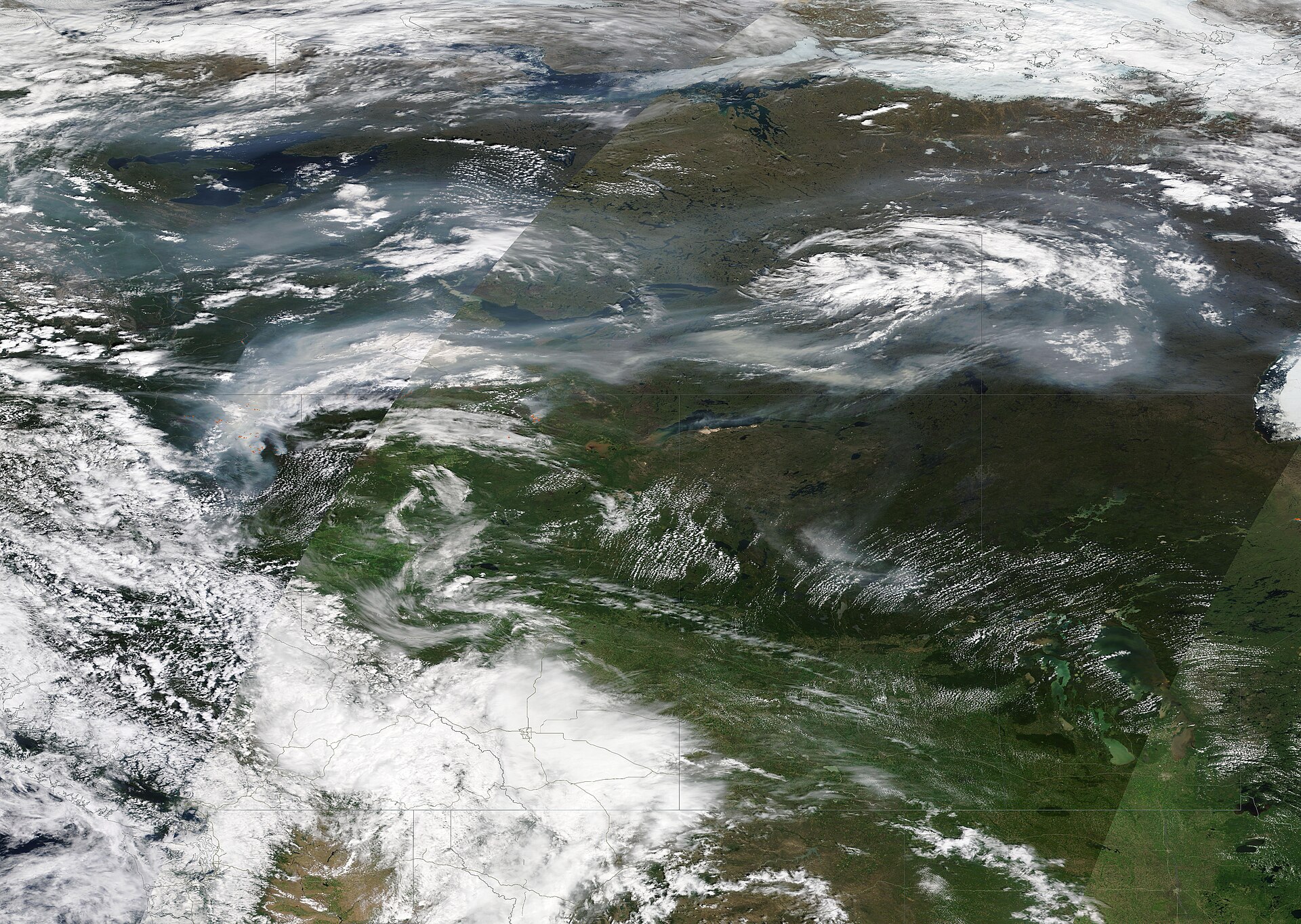
The work lands at the end of a hard season. Public Safety Canada’s October update, as cited by BetaKit, shows more than 5,400 wildfires have burned about 4.5 million hectares this year, making 2026 on track to be the fourth-worst on record. About 33,750 people have been forced to evacuate, including more than 8,800 from First Nations communities.
The project also fits Ottawa’s wider AI push. The federal government has asked Mila to deliver the open-source part of its AI strategy, meaning models and software that anyone can use and build on, and Mila is reportedly negotiating new federal funding for that work. The questions around AI’s costs are also live in Ottawa: Evan Solomon has said Ottawa is not responsible for powering AI data centres, and Library and Archives Canada has limited ISBNs for AI-made books.
Neither Mila nor Natural Resources Canada has said when the model will be used for operational hazard maps.
If you find reporting like this useful, consider supporting Canada News Media, an independent Canadian newsroom with no corporate parent.
Follow Canada News Media
Get the day's top Canadian stories and our two daily 60-second news videos wherever you scroll.
X Threads Facebook Instagram LinkedIn TikTok YouTube Pinterest Reddit Substack Flipboard Newsletter RSS