





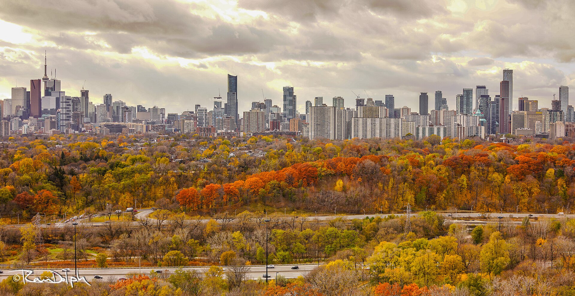
Environment Canada has issued a frost advisory for the City of Toronto, Mississauga, Brampton, Burlington and Oakville, warning that patchy frost could form overnight into Tuesday morning.
The weather agency said the frost is most likely north of the 401 corridor. The advisory was issued Monday afternoon and runs until Tuesday morning. Damage to plants, trees and crops is possible, Environment Canada said.
Toronto’s forecast calls for a 30 per cent chance of showers early Monday evening, followed by clearing skies overnight. The low is expected to be plus 2 across the city, but minus 1 in areas north of Highway 401, with northeast winds near 20 km/h.
Tuesday should be mainly sunny with a high of 10 and a northeast wind that eases late in the morning, according to the forecast. Temperatures are forecast to climb to 16 on Wednesday under cloudy skies.
Environment Canada urged residents to take preventative measures to protect cold-sensitive plants, trees and crops, and to cover plants in frost-prone areas. It asked people to keep monitoring alerts and forecasts, and to report severe weather by email to [email protected] or on social media with #ONStorm.
The advisory is rated moderate. Official alerts and forecasts are available from Environment Canada.
Colder nights also bring heating questions for renters, and our guide to landlord heat rules and minimum temperatures in Canada explains what tenants can expect. Prairie cities are already facing snow this week, as we reported in our Calgary and Edmonton snow forecast.
If you find reporting like this useful, consider supporting Canada News Media, an independent Canadian newsroom with no corporate parent.
Follow Canada News Media
Get the day's top Canadian stories and our two daily 60-second news videos wherever you scroll.
X Threads Facebook Instagram LinkedIn TikTok YouTube Pinterest Reddit Substack Flipboard Newsletter RSS