



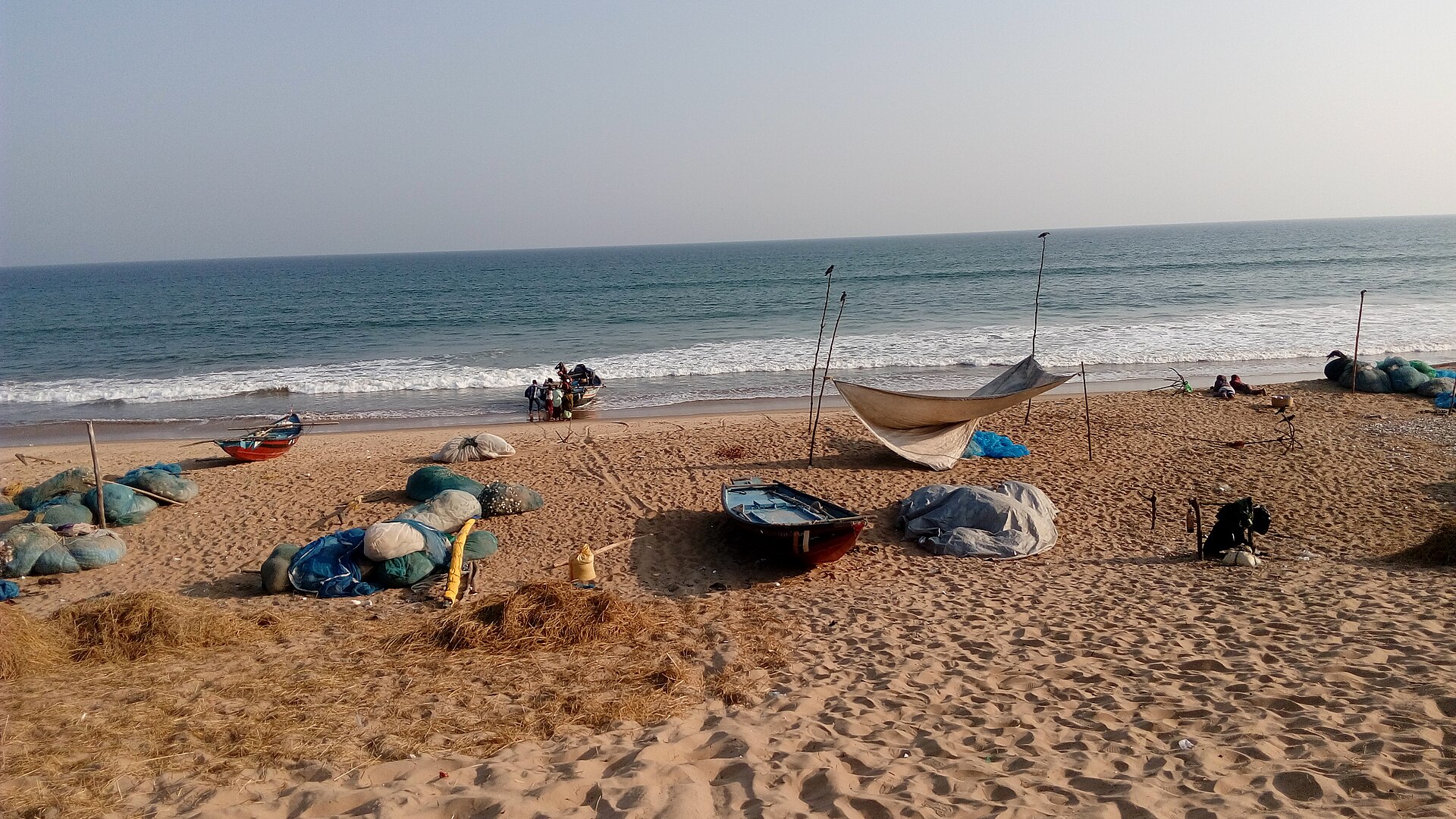
Cyclone Akvan weakened to a cyclonic storm and crossed the coast near Gopalpur in Odisha’s Ganjam district on the morning of Nov. 20, 2026, after more than 300,000 people were moved to shelters, India’s weather agency said.
The storm came ashore as a far weaker system than forecast earlier in the week, when the India Meteorological Department (IMD) expected a very severe cyclone with gusts of 145 km/h to hit the Andhra Pradesh coast.
Landfall took place between 7:30 a.m. and 8:30 a.m. local time, with sustained winds of 70 to 80 km/h and gusts up to 90 km/h, Outlook India reported, citing the IMD. Manorama Mohanty, director of the IMD’s Meteorological Centre in Bhubaneswar, said the landfall process began around 8 a.m. and was expected to continue until noon.
The IMD’s 2:30 a.m. bulletin on Nov. 20 said Akvan had weakened from a severe cyclonic storm into a cyclonic storm, according to a Press Trust of India live report. The Federal said the weakening followed wind shear, and that the storm was expected to move north-northeast across Odisha and fade into a deep depression within three hours of landfall, then a depression.
Odisha Disaster Management Minister Suresh Pujari said no major damage or loss of life had been reported in the state so far, Outlook India reported. That account is early, and the storm was still crossing the coast when it was published at 1:05 p.m. IST.
The evacuation was large. Special Relief Commissioner Rajesh P. Patil said 298,676 people had been moved to 2,523 relief camps by Thursday evening, according to the PTI report, and later reports put the total above 300,000. Odisha had prepared 9,341 cyclone shelters and deployed more than 400 response teams, including state disaster response, National Disaster Response Force and fire service crews. The Federal reported that Ganjam district accounted for nearly half of those moved, and that more than 4,000 pregnant women were shifted to shelters.
Rail traffic took a hit. The Federal reported that East Coast Railway cancelled about 45 trains and rescheduled 28, while the PTI report said South Eastern Railway cancelled at least 28 express trains. Counts differ between reports and the railways’ own tallies may change.
The forecast shifted several times in the days before landfall. On Nov. 17, Oneindia reported that the IMD expected a very severe cyclonic storm with sustained winds of 120 to 130 km/h, crossing between Nellore and Tuni in Andhra Pradesh around noon on Nov. 20. On Nov. 18, private forecaster Skymet said the storm might not reach the very severe category and that its likely strike point was moving north. The storm instead came ashore in Odisha, outside the Andhra Pradesh stretch of coast named in those forecasts.
The IMD forecast very heavy rain in South 24 Parganas and Purba Medinipur districts of West Bengal until Nov. 21, with heavy rain in several other southern Bengal districts, Outlook India reported. Light to moderate rain with a few heavy spells was forecast for Kolkata on Friday.
It follows Cyclone Arnab, which made landfall in Andhra Pradesh on Oct. 28, as we reported.
No Canadian casualties or disruptions have been confirmed. Canadians with family in Odisha, Andhra Pradesh or West Bengal, and travellers in eastern India, can check Global Affairs Canada’s current advice for India at travel.gc.ca.
The IMD is expected to issue further bulletins as the system moves inland, and damage assessments in Ganjam and neighbouring districts typically follow once the evacuated residents return home.
If you find reporting like this useful, consider supporting Canada News Media, an independently owned Canadian newsroom.
Via Outlook India, The Federal and Press Trust of India (through India.com), with forecast details from Oneindia and Skymet. Figures are as reported by those outlets and the IMD and may be revised.
Follow Canada News Media
Get the day's top Canadian stories and our two daily 60-second news videos wherever you scroll.
X Threads Facebook Instagram LinkedIn TikTok YouTube Pinterest Reddit Substack Flipboard Newsletter RSS