



Canadians searched “super El Niño” more than 20,000 times on Wednesday as forecasters said a very strong El Niño now forming in the tropical Pacific is expected to bring a milder-than-normal winter to much of Canada.
El Niño conditions have officially formed and are forecast to strengthen, the Canadian Centre for Climate Services said in an Aug. 21 analysis published on ClimateData.ca. Seasonal forecasting centres, including Environment and Climate Change Canada, agree there is a probability above 99 per cent that this event will be “very strong” and peak in late fall or early winter, the analysis said.
An El Niño is called very strong when sea-surface temperatures in the key Niño-3.4 region of the Pacific run more than 2 C above the baseline. ECCC’s CanSIPSv3 forecasting system gives better than a 90 per cent chance that the anomaly will exceed 3 C by late 2026, which would be unprecedented in the historical record, the analysis said.
“Both observations and forecasts are pointing toward an extraordinary El Niño event,” ECCC scientist Bill Merryfield said in the analysis. He said some forecast runs approach or exceed 4 C.
The strongest direct effects on Canadian weather usually arrive from early winter through spring, the analysis said. In general, El Niño tends to bring milder winters with less snow, and warmer, drier springs, to western, northwestern and central Canada. Winter 2026-27 is expected to be milder across much of the country, with an elevated risk of extreme weather that could extend into spring and possibly summer 2027, including drought and wildfire.
The last three very strong events, in 1982-83, 1997-98 and 2015-16, shifted the strongest winter warming east of the Rocky Mountains, through Ontario and Quebec to Atlantic Canada, the analysis said. Most of Nunavut tended to be colder than normal. Parts of coastal British Columbia and Atlantic Canada saw more precipitation, even as much of B.C. and the Yukon were dry. The analysis said the effect on any one region is hard to predict because other climate patterns, such as the Pacific Decadal Oscillation, also play a role.
For Alberta, CTV News reported on Sept. 3 that the incoming event is expected to bring a moderate winter and a dry spring. The ClimateData.ca analysis said those past very strong events cost the Canadian economy billions of dollars through crop losses from drought, marine heat waves that hurt fisheries, and damage from wildfires, coastal storms and freezing rain.
Globally, the analysis said 2027 is highly likely to become the hottest year on record, breaking the mark set in 2024, because record temperatures often follow the peak of a strong El Niño. Such events usually last nine to 18 months. The analysis said there is low confidence that climate change will make El Niño events themselves stronger, but continued warming may increase the frequency and intensity of the extreme weather they drive in Canada.
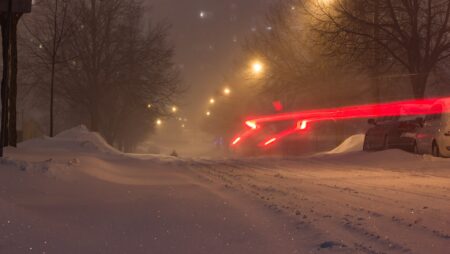
A mild forecast does not rule out cold snaps and snowstorms. Fort McMurray is under a snowfall warning this week, and we reported on that warning as well as on the early weakening of the polar vortex. Earlier this month, we also covered how El Niño drought is raising famine risk in Sudan.
If you find reporting like this useful, consider supporting Canada News Media, an independent Canadian newsroom with no corporate parent.
Sources: ClimateData.ca (Canadian Centre for Climate Services), CTV News.
Follow Canada News Media
Get the day's top Canadian stories and our two daily 60-second news videos wherever you scroll.
X Threads Facebook Instagram LinkedIn TikTok YouTube Pinterest Reddit Substack Flipboard Newsletter RSS