




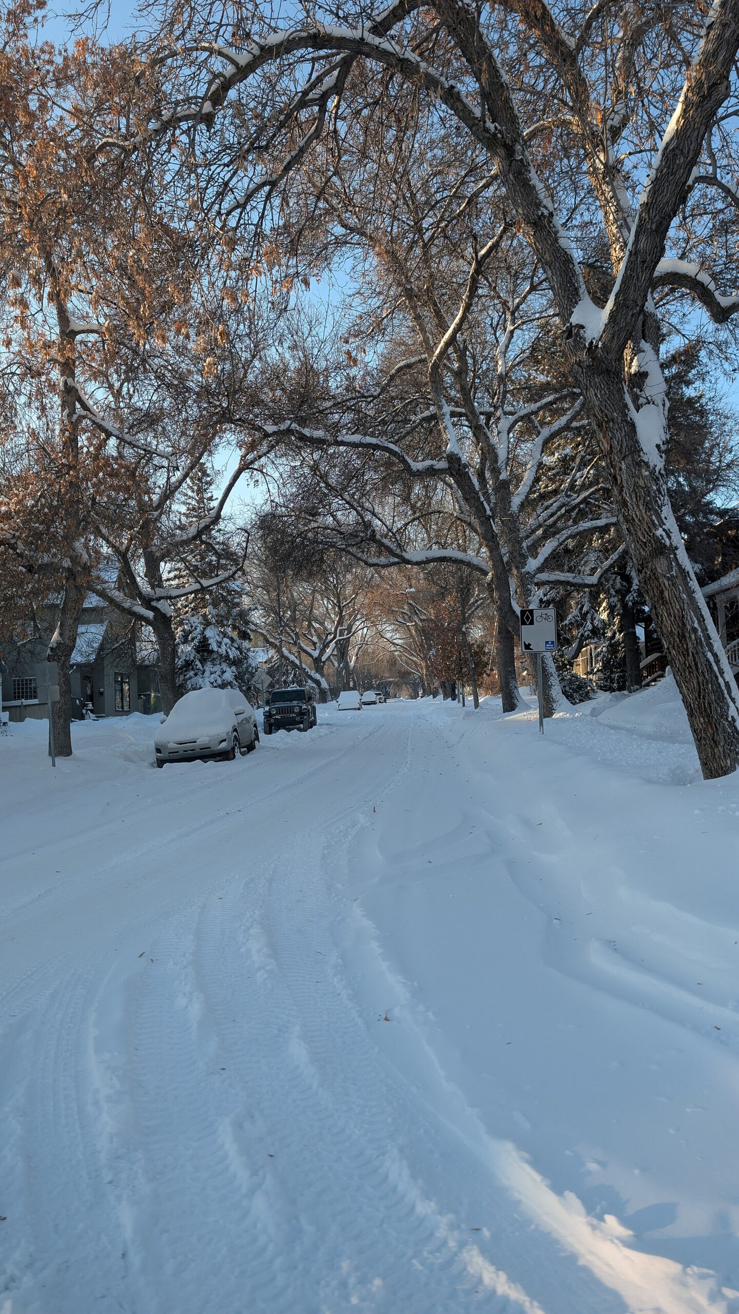
Edmonton is in line for its first significant snowfall of the year, with Environment Canada warning that up to 15 centimetres could fall between Tuesday evening and Thursday morning.
The weather agency issued a special weather statement at 1:23 p.m. MT Tuesday for the City of Edmonton, St. Albert and Sherwood Park. It said a long-duration snowfall event is expected through parts of central Alberta, beginning this evening and lasting until Thursday morning, Oct. 29.
Environment Canada said road conditions could deteriorate quickly and that the snow may have a significant impact on rush-hour traffic. It advised people to allow extra time for travel.
The same statement covers a wide area around the capital region, including Fort Saskatchewan, northern Strathcona County, Sturgeon County, Leduc County, Parkland County near Spruce Grove and Stony Plain, Lac Ste. Anne County, Camrose County, the County of Wetaskiwin and Elk Island National Park.
The statement is not a warning, which Environment Canada reserves for more severe conditions. It follows our earlier report on the snow forecast for Calgary and Edmonton on Wednesday, which did not include snowfall amounts.
Drivers who have not yet put on winter tires should book that appointment now, and anyone commuting Wednesday or Thursday should check road conditions before leaving. Our winter storm preparation checklist has tips for getting ready, and our guide to winter parking bans explains the city rules and fines that can apply once the snow arrives.
Calgary has already seen snow this season, as we reported in snow overnight, with flurries lingering Sunday morning.
Updated 8:30 p.m. MT: Environment Canada has since upgraded the outlook to snowfall warnings farther west, for Yellowhead County near Hinton, Obed Lake and William A. Switzer Provincial Park, the Municipal District of Greenview near Grande Cache, and Willmore Wilderness Park. Those warnings call for 10 to 15 centimetres by Thursday morning. The agency said snow will intensify tonight and continue through Wednesday, easing Wednesday night and ending late Thursday morning, with roads and walkways likely difficult to navigate and visibility reduced at times.
Updated 6:30 a.m. MT Wednesday: Environment Canada renewed its special weather statement for Edmonton, St. Albert and Sherwood Park early Wednesday. It continues to call for a long-duration snowfall event until Thursday morning, with total amounts that may reach 15 cm, quickly changing road conditions and a possible significant impact on rush-hour traffic. Farther north, snowfall warnings are in effect for Fort McMurray, as we report separately.
Updated 3:10 p.m. MT Wednesday: Environment Canada renewed the special weather statement again for Edmonton, St. Albert and Sherwood Park, saying the first significant snowfall of the season continues. The agency said some localities may see upwards of 15 cm on colder surfaces, that snow will continue through parts of central Alberta until Thursday morning, and that road conditions could deteriorate quickly with a possible significant impact on rush hour. Snowfall warnings for southwestern Alberta, with up to 20 cm near Crowsnest Pass, are covered in our separate report.
Environment Canada asks residents to report severe weather to [email protected], by calling 1-800-239-0484 or on social media using #ABStorm. Current alerts are posted on the Environment Canada weather site.
If you find reporting like this useful, consider supporting Canada News Media, an independently owned Canadian newsroom.
Source: Environment and Climate Change Canada special weather statement, issued Tuesday, Oct. 27.
Follow Canada News Media
Get the day's top Canadian stories and our two daily 60-second news videos wherever you scroll.
X Threads Facebook Instagram LinkedIn TikTok YouTube Pinterest Reddit Substack Flipboard Newsletter RSS