



Environment Canada has issued wind warnings for the southern Avalon Peninsula and Newfoundland’s south coast for Friday, with gusts of up to 100 km/h expected as Subtropical Storm Josephine passes south of the province.
The yellow wind warnings cover Avalon Peninsula Southeast, Avalon Peninsula Southwest, the Burin Peninsula, Burgeo-Ramea and Connaigre, according to Environment Canada. Northeast winds are forecast to gust to 80 km/h, and to 100 km/h along parts of the coast, from Friday afternoon into the evening, CBC News and VOCM reported. The warnings say local utility outages are possible and that services and travel could be disrupted.
“Weather is on the way,” Environment Canada meteorologist Robert Grove told CBC News.
Grove told VOCM the winds would start light, at “20 gusting 40 (km/h) overnight tonight and then very quickly increase tomorrow morning,” peaking Friday afternoon and evening. About 10 millimetres of rain is expected in the warning areas, VOCM reported, and the St. John’s metro region could see 10 to 20 millimetres from Thursday night through Friday night.
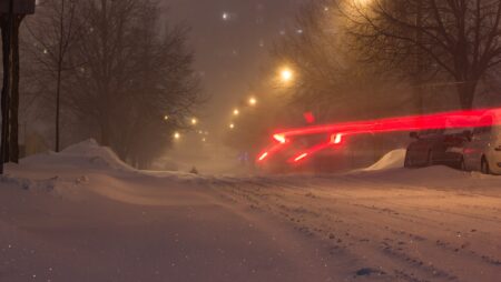
Colder air arriving from the north will also bring snow to higher ground. Environment Canada issued a special weather statement for Burgeo-Ramea, the Burin Peninsula, Clarenville and Connaigre calling for two to five centimetres of snow Friday afternoon and evening, mostly over higher terrain, with rain more likely near the coast.
“We have some falling temperatures. And so unfortunately that means I have to say the word snow,” Grove told CBC News. He urged drivers on the Bay d’Espoir Highway, the Burgeo Highway, the Burin Peninsula Highway and the Trans-Canada Highway between Goobies and Port Blandford to watch for slippery roads.
CBC meteorologist Ashley Brauweiler said the strongest winds will stay well offshore, but most of the island, from the west coast through central and eastern areas, could see gusts of 60 to 80 km/h.
Josephine began as a low-pressure system off the U.S. Atlantic coast and is moving northeast, The Canadian Press reported Thursday. Environment Canada also issued yellow rainfall warnings for parts of northern and eastern Nova Scotia for Thursday, with 50 to 70 millimetres of rain expected.
The storm has already disrupted travel. Royal Caribbean’s Oasis of the Seas, which left Cape Liberty, N.J., on Sunday with about 5,000 passengers bound for Florida and the Bahamas, was diverted away from the rough seas and docked in Halifax on Tuesday night and Wednesday, The Canadian Press reported.
Weather forecaster Eddie Sheerr said the storm’s centre is expected to pass about 280 kilometres south of Cape Race early Saturday before heading out to sea, so Newfoundland will not take a direct hit. He said building swells will bring heavy surf and dangerous rip currents to the south coast, the Burin Peninsula and the southern Avalon into the weekend, and advised residents to secure garbage bins and patio furniture and charge their phones.
Searches for the southern Avalon wind warning topped 10,000 on Google in Canada over the past day, and searches for the Bahamas and the Oasis of the Seas also climbed after the ship’s unplanned stop in Halifax.
Atlantic Canada’s stormy start to the season comes as forecasters look ahead to winter. Read our Canada winter forecast for 2026-27 by region and how a strong El Niño points to a mild start to winter in the West. Earlier this month, a windstorm knocked out power and traffic lights across Edmonton.
If you find reporting like this useful, consider supporting Canada News Media, an independent Canadian newsroom with no corporate parent.
Sources: Environment Canada, CBC News, VOCM, The Canadian Press, Sheerr Weather.
Follow Canada News Media
Get the day's top Canadian stories and our two daily 60-second news videos wherever you scroll.
X Threads Facebook Instagram LinkedIn TikTok YouTube Pinterest Reddit Substack Flipboard Newsletter RSS