




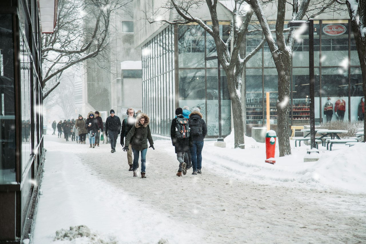
Exposed skin can freeze in 10 to 30 minutes at a wind chill of -28 to -39, in 5 to 10 minutes at -40 to -47, and in less than two minutes at -55 or colder, according to Environment and Climate Change Canada. Wind chill applies only at 0 C or colder with wind of 5 km/h or more.
Updated Oct. 28, 2026
The federal weather service publishes the wind chill index as a number that tells you how cold bare skin feels, not the actual air temperature. The risk bands below come from its wind chill page, last modified Dec. 16, 2025, and apply in every province and territory.
Key facts: wind chill and frostbite in Canada
| Wind chill | Risk level | Time for exposed skin to freeze | What it means |
|---|---|---|---|
| 0 to -9 | Low | Not stated | Slight increase in discomfort |
| -10 to -27 | Moderate | Not stated | Discomfort; hypothermia and frostbite possible after long exposure without protection |
| -28 to -39 | High | 10 to 30 minutes | High risk of frostnip or frostbite |
| -40 to -47 | Very high | 5 to 10 minutes | Very high risk of frostbite and hypothermia |
| -48 to -54 | Severe | 2 to 5 minutes | Severe risk of frostbite and hypothermia |
| -55 or colder | Extreme | Less than 2 minutes | Outdoor conditions are hazardous |
The weather service said that in sustained winds above 50 km/h, frostbite can occur faster than the table shows. It also said wind chill is not shown when the air temperature is above zero.
What is wind chill and how is it measured?
Wind chill is an index based on heat loss from the face, developed from tests on human volunteers in a refrigerated wind tunnel, according to Environment Canada’s wind chill fact sheet. It is reported without a degree sign because it describes how cold skin feels, not a real temperature.
Forecasts assume the wind you would feel on open ground. The fact sheet said sheltering from the wind can reduce or remove the chill, though the outside air is still cold. Wind chill also does not cool an object below the actual air temperature, so it will not freeze a water pipe that sits above that temperature.
Forecasts cover today, tonight and tomorrow only, and a second wind chill value is issued for a day when the morning and afternoon figures differ significantly.
How cold is too cold to go outside?
There is no single legal cut-off, but the federal fact sheet says the risk of frostbite rises rapidly once the wind chill falls below -27. Newfoundland and Labrador’s health department used the same line in a March 2026 public advisory, saying health risks rise when wind chill values fall below -27.
A worked example shows how quickly it changes. The fact sheet’s chart gives a wind chill of -30 for an air temperature of -20 with a 20 km/h wind. That is in the high band, so bare skin could freeze in 10 to 30 minutes. If the air is -30 and the wind is 60 km/h, the chart gives -50, which is in the severe band, where skin can freeze in 2 to 5 minutes, and the 60 km/h wind is above the 50 km/h point where frostbite can come faster still.
A calm day at -20 feels like -20. Adding the wind is what moves the same morning from an uncomfortable walk to a health risk.
What do the yellow, orange and red weather alerts mean?
Since Nov. 26, 2025, every Environment Canada warning, advisory and watch carries a colour that shows the level of impact. Yellow means moderate, localized or short-term impacts and is the most common. Orange means significant damage, disruption or health impacts that are major, widespread or may last a few days, and is uncommon. Red means very dangerous and possibly life-threatening weather and is rare, according to the government’s colour-coded alerts notice.
The federal weather impact guides describe cold at three impact levels. At the moderate level, people without adequate protection risk cold injury and water pipes may freeze or burst. At the high level, the page lists a very high risk of cold injury such as frostbite and hypothermia, and outdoor work is suspended. At the extreme level, it describes a severe risk of cold injury and says travel or outdoor activities are not safe.
The older public page listing regional extreme cold warning criteria has been replaced, and the new guides give no numeric thresholds. The fact sheet says extreme cold warnings are issued when significant wind chills are expected, based on local climate, which is why the trigger differs from region to region.
What are the extreme cold thresholds in each province?
Federal pages no longer publish a table of warning thresholds, so the table below shows only what each government has put in writing. Where we could not find a number on an official page, it says so.
| Province or territory | What the government says |
|---|---|
| Alberta | An extreme cold warning is issued when temperatures or wind chill reach -40 or colder, according to Alberta.ca |
| Manitoba | No numeric threshold on its extreme cold page; it points to Environment Canada and the province’s severe weather site |
| Quebec | The Quebec government lists 10 to 30 minutes to freeze skin at -28 to -39 and 2 to 10 minutes at -40 to -54, using its own risk labels |
| Newfoundland and Labrador | Health risks rise when wind chill falls below -27, according to a March 2, 2026 advisory; call HealthLine 811 for advice |
| British Columbia, Saskatchewan, Ontario, New Brunswick, Nova Scotia, Prince Edward Island and the territories | We did not find a published numeric warning threshold; follow Environment Canada alerts for your area |
Quebec’s labels differ from the federal ones. It calls -28 to -39 moderate and -40 to -54 high, while Environment Canada calls those bands high and very high or severe. The skin-freezing times for -28 to -39 match the federal table at 10 to 30 minutes.
What are the signs of frostbite and hypothermia?
Health Canada’s extreme cold guidance describes frostnip, the mildest stage, as skin that looks yellowish or white but is still soft to the touch and may turn red as it warms. Severe frostbite can turn skin black and numb, with blisters and nerve damage. Quebec lists numbness, tingling, pale reddened skin and small blisters as signs of superficial frostbite, most often on the ears, nose, cheeks, fingers and toes.
Hypothermia starts with shivering, goose bumps, numb hands, quick shallow breathing and tiredness, according to Health Canada. In the next stage, shivering is strong, movements are slow and uncoordinated, and lips, ears, fingers or toes may turn blue. Below a core temperature of 32 C, shivering stops and speaking, thinking and walking become difficult.
What should I do if I get frostbite?
For mild frostbite, Health Canada said to warm the area passively, for example in a warm room, under blankets or with skin-to-skin contact, and not to rub, massage or shake the skin. For severe frostbite, it said to get immediate medical attention and begin warming while waiting for help. Quebec adds that Info-Sante 811 can advise on symptoms, and that untreated frostbite can leave an area sensitive to cold for years.
For hypothermia, Health Canada said to call 9-1-1 or the local emergency number right away for the second and third stages. In the first stage, or while waiting for help, move to shelter, keep moving, and gradually dry and warm the body.
Who is most at risk in extreme cold?
Health Canada lists people experiencing homelessness, outdoor workers, people in poorly insulated homes with no heat or power, people with diabetes or blood vessel disease, people taking beta-blockers, winter sport enthusiasts, infants under one year and seniors 65 and older. Newfoundland and Labrador added people who live alone and asked residents to check on older neighbours.
Manitoba’s extreme cold page advises layers with a windproof outer layer, waterproof footwear that covers as much skin as possible, a covered face, head and hands, and prompt changes out of wet clothing. Alberta advises outdoor workers to avoid overexertion because sweating can lead to hypothermia, and to keep pets in warm shelter.
For the rest of the winter, see our winter storm prep checklist, the guide to building a winter car emergency kit and our winter driving rules by province.
Frequently asked questions about wind chill and frostbite
At what wind chill does frostbite start?
Environment Canada said frostbite risk rises rapidly below -27, and that at -28 to -39 exposed skin can freeze in 10 to 30 minutes.
Is -40 wind chill dangerous?
Yes. At -40 to -47 the weather service lists a very high risk of frostbite and hypothermia, with exposed skin freezing in 5 to 10 minutes. Alberta issues an extreme cold warning at -40.
Does wind chill affect my car or pipes?
No. The weather service said wind chill does not lower the temperature of objects below the actual air temperature. It describes how cold exposed skin feels.
Why do extreme cold warnings differ across Canada?
Environment Canada said warnings are issued when significant wind chills are expected based on local climate, so the same wind chill can trigger a warning in one region and not in another.
Where do I get cold alerts?
Environment Canada said you can check active alerts on its weather map, set up temperature alerts on the WeatherCAN app or use its wind chill calculator.
Sources: Environment and Climate Change Canada, wind chill index; wind chill fact sheet; colour-coded weather alerts; weather impact guides; Health Canada, extreme cold; Alberta; Manitoba; Quebec; Newfoundland and Labrador.
If you find reporting like this useful, consider supporting Canada News Media, an independent Canadian newsroom with no corporate parent.
Follow Canada News Media
Get the day's top Canadian stories and our two daily 60-second news videos wherever you scroll.
X Threads Facebook Instagram LinkedIn TikTok YouTube Pinterest Reddit Substack Flipboard Newsletter RSS