


An unusually early weakening of the polar vortex over the Arctic has meteorologists in Canada watching closely, but experts said Tuesday it is too soon to say whether it will bring colder weather to the country this winter. Searches for “polar vortex Canada forecast” were among the topics trending in Google Trends Canada on Wednesday, with more than 5,000 searches.
According to The Weather Network, the winds that make up the vortex high above the North Pole may weaken months ahead of schedule and spill cold air toward the surface, CTV News reported. Forecasters are not certain when or where that would happen, or whether it will happen at all.
“That could be Canada. That could be somewhere in Europe. It may not happen at all,” Kelsey McEwen, CTV’s Your Morning chief meteorologist, said. She said meteorologists may not know more until the first week of November.
McEwen described the vortex as a “spinning top” above the North Pole, a band of winds circling cold air in the stratosphere, roughly 10 to 50 kilometres above the surface. It usually strengthens through winter as the Arctic loses sunlight. When upward wave activity makes it wobble, the air around it can warm rapidly in what is known as sudden stratospheric warming, and that can influence where the jet stream sends cold air.
Such warming normally happens between January and March, but meteorologists noticed an event in November last year, CTV reported. “It’s not very likely it happens this early in the season,” Christoph Gatzen, a research meteorologist at Western University, told CTVNews.ca. He called the situation notable but not alarming. “It’s not a really dramatic change in the weather imminent,” he said.
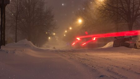
If the vortex does weaken and the effect reaches Canada, the temperature swing would depend on how cold a region already is, McEwen said. Colder regions could see temperatures fall well below 0 C, while warmer regions could see less intense cold air.
The disruption is unfolding alongside what meteorologists say is shaping up to be the strongest El Niño on record. Gatzen cautioned against drawing a direct link between the El Niño and the weakening vortex, saying it is difficult to determine which influences matter most. McEwen said El Niño is likely to be a bigger factor in this winter’s weather than the vortex. El Niño generally brings milder winters to Canada, she said, and last winter’s early vortex disruption coincided with La Niña, which is typically associated with colder-than-average winters.
“I can tell you for sure, winter will be colder than summer, and I can tell you probably this winter will be milder than last winter,” McEwen said. “But either way, you’re going to need a winter coat. You’re going to need your boots, and you’re probably going to shovel.”
Gatzen said the vortex should not change how Canadians prepare for the season. “You change your tires, prepare for snow,” he said.
The Weather Network has kept its outlook for a mild start to winter, according to reports on its seasonal forecast. We covered how a strong El Niño could shape the season in our report on the mild start expected in the West, and our regional winter forecast breaks down what to expect across the country. For cold-weather safety, see our guide to wind chill and frostbite and our tips on shovelling snow safely.
Environment and Climate Change Canada has not issued a forecast linking the vortex to November weather in the reports reviewed. We will update this story if forecasters say more in early November.
If you find reporting like this useful, consider supporting Canada News Media, an independent Canadian newsroom with no corporate parent.
Sources: CTV News, Oct. 27; The Weather Network, as cited by CTV News.
Follow Canada News Media
Get the day's top Canadian stories and our two daily 60-second news videos wherever you scroll.
X Threads Facebook Instagram LinkedIn TikTok YouTube Pinterest Reddit Substack Flipboard Newsletter RSS